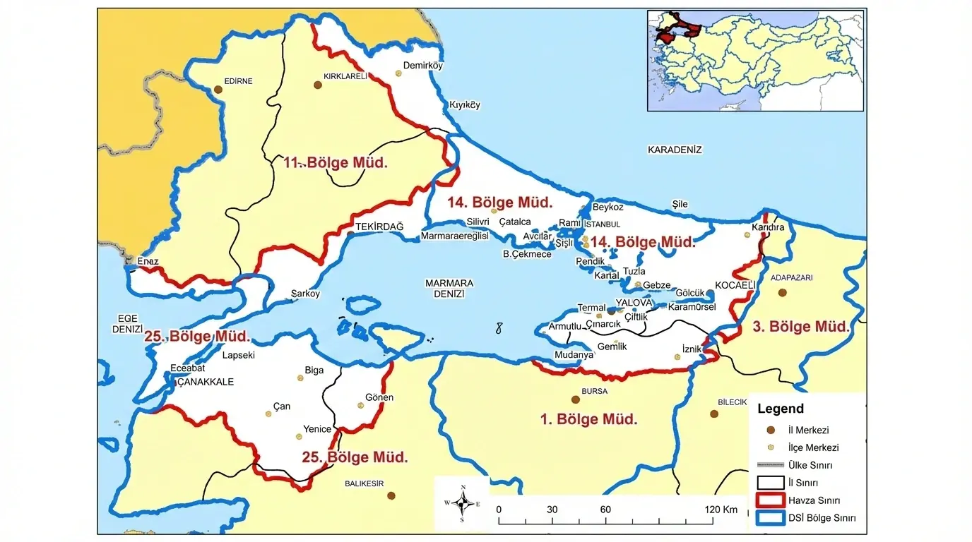
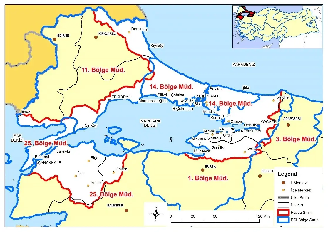
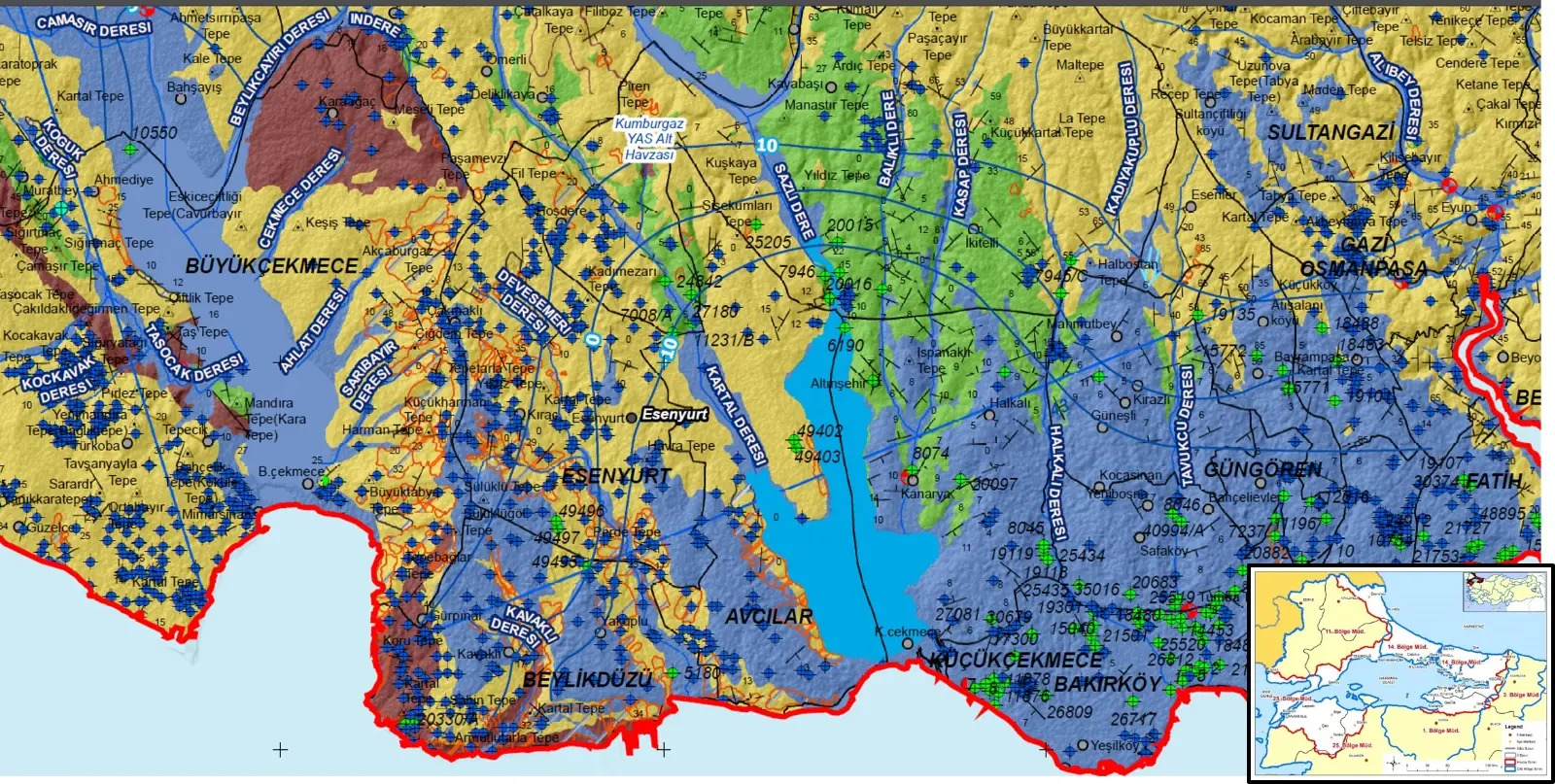
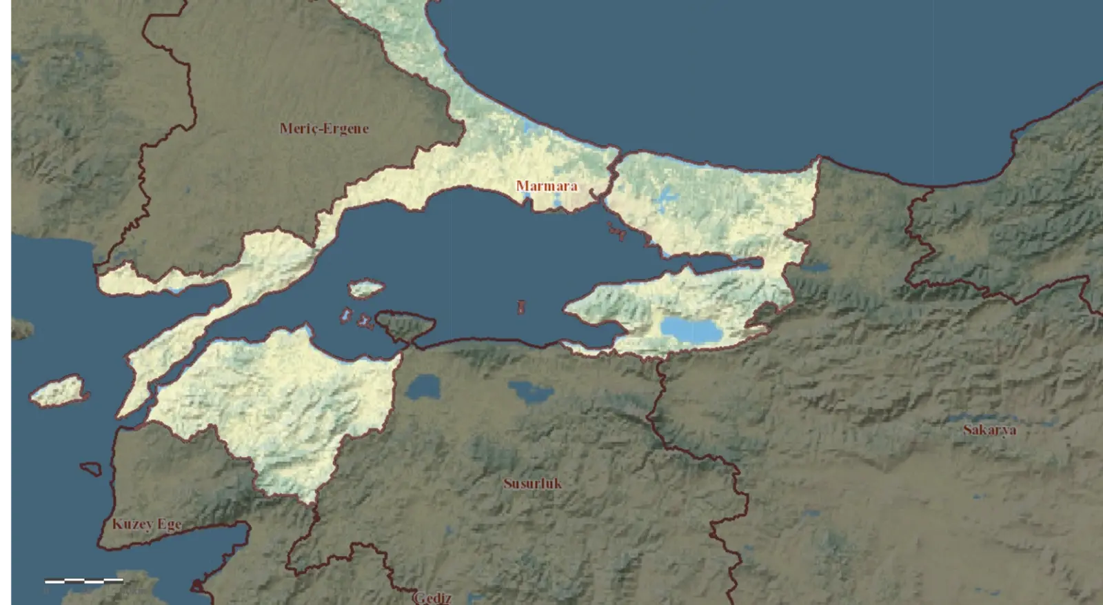


The project was carried out by the General Directorate of State Hydraulic Works (DSI) and covered a 26,000 km² area of the Marmara Basin. A total of 31 groundwater sub-basins were identified, and aquifer systems were examined in detail. Monitoring was conducted at 93 wells and 53 springs, including level measurements and chemical and isotopic analyses. Numerical and analytical modeling methods were applied, such as surface flow modeling, rainfall–water level correlation, and chloride mass balance, to create the basin’s groundwater budget. Based on surveillance and operational monitoring data, pressure–impact and risk assessments were completed, and special measures were developed for groundwater bodies identified as being at risk. The project concluded with the preparation of the “Marmara Basin Groundwater Planning Report” using an integrated management approach.