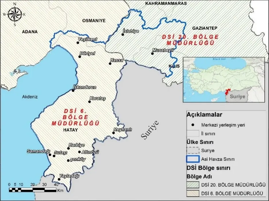


The “Asi Basin Groundwater Planning (Hydrogeological Survey) Project” was conducted in a strategically important transboundary basin located in the southern part of Türkiye, covering approximately 8,000 km². The project included detailed investigations of the basin’s hydrological, hydrogeological, geological, hydrogeochemical, and isotopic characteristics, resulting in the preparation of 1:25,000 and 1:100,000 scale hydrogeology maps and reports.
Aquifer depths, thicknesses, and distribution areas were determined using geophysical measurements and well logs, and groundwater body boundaries were defined. Hydrogeological parameters such as transmissivity, permeability, and saturated thickness were evaluated, and the groundwater budget was calculated through analytical and numerical modeling techniques.
Hydrogeochemical analyses included in-situ measurements of pH, EC, DO, and temperature, as well as laboratory analyses of anions, cations, heavy metals, trace elements, and isotopes. Water types were classified using Piper and Schoeller diagrams, allowing interpretations of water origins and hydrogeochemical processes, including anthropogenic impacts on water quality.
A GIS-based groundwater database was created, compiling all monitoring and sampling data. Pressure–impact and risk assessments were performed for groundwater bodies, with detailed characterization studies conducted for those identified as being at risk.
Ultimately, the hydrogeological reports prepared for the Asi Basin and its seven sub-basins provide comprehensive scientific data that support sustainable water management and contribute to both regional planning and national water policies.