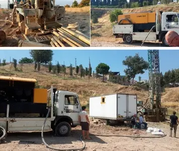


Detailed hydrogeological investigations were conducted in the Kadifekale Topaltı landslide area to identify the water sources contributing to mass movements. The main purpose of the project was to remove these water inputs from the system and enhance the stability of the landslide-prone zone. To support engineering measures such as the planned pile foundation system, groundwater levels were targeted to be lowered below specific elevations to reduce pore-water pressures within the unstable slope.
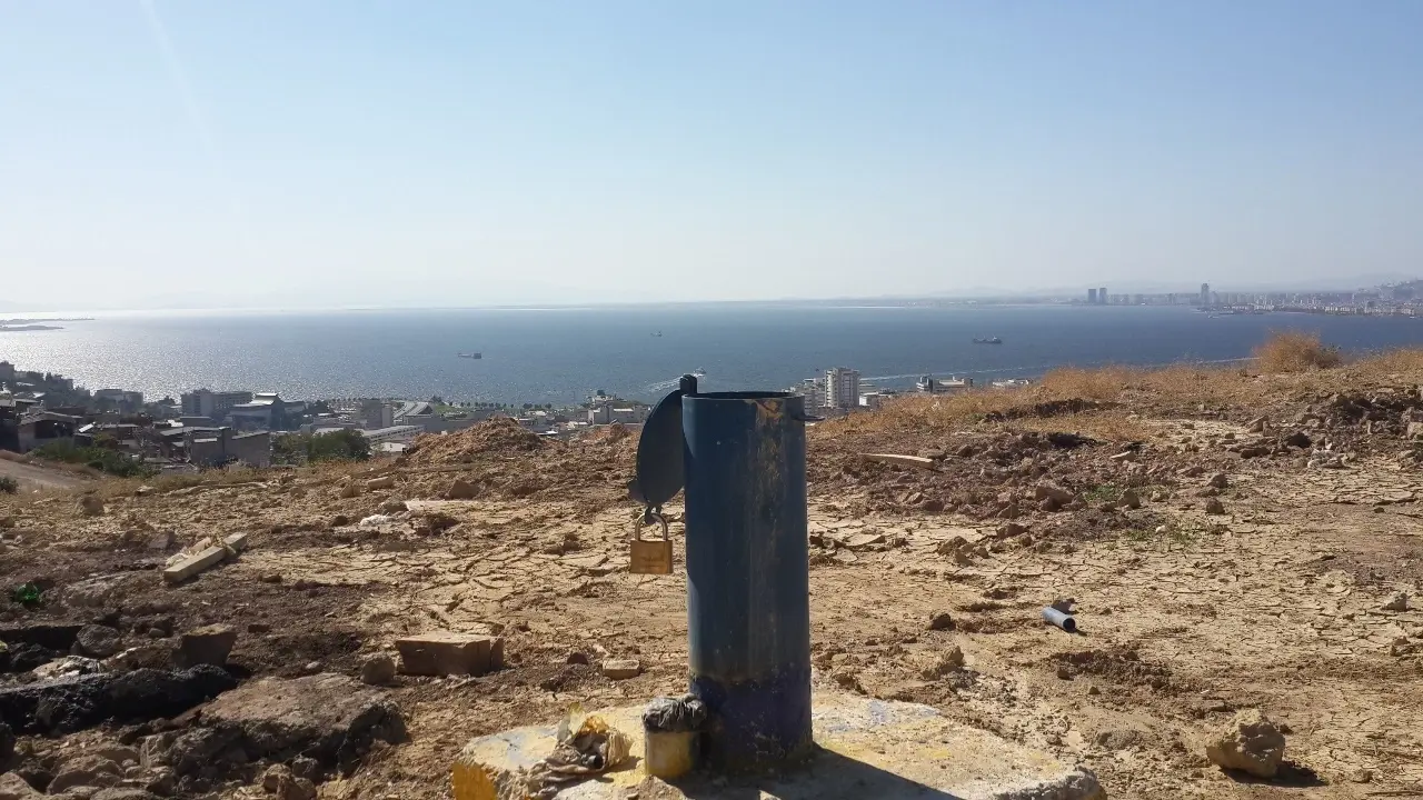
Aquifer pump tests were carried out in the test wells drilled within the project area to determine the hydraulic parameters of geological units, boundary conditions, cone of depression characteristics and the potential extraction rates. To achieve effective dewatering, groundwater levels were aimed to be reduced below elevations 85–90, with test wells also planned to operate as drainage wells. Hydrogeological modeling and simulation studies were performed to analyze temporal and spatial changes in groundwater levels depending on the pumping regime.