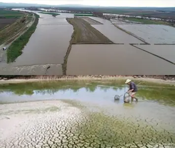
Flood and Drought
With the increasing frequency of extreme weather events driven by climate change, managing both flood and drought risks together has become essential. We conduct flood inundation mapping, flow frequency analyses, drought indices, scenario-based modeling, and hydrological assessments using surface and groundwater data. Our goal is to produce science-based solutions that support risk reduction before disasters and ensure efficient water use during drought periods. We also provide hydrological studies for zoning plans, modeling work, and river rehabilitation projects tailored to the needs of local authorities.